
Pidurutalagala: Can You Climb Sri Lanka's Highest Mountain?
Not open to hikers · Nuwara Eliya District · Central Province
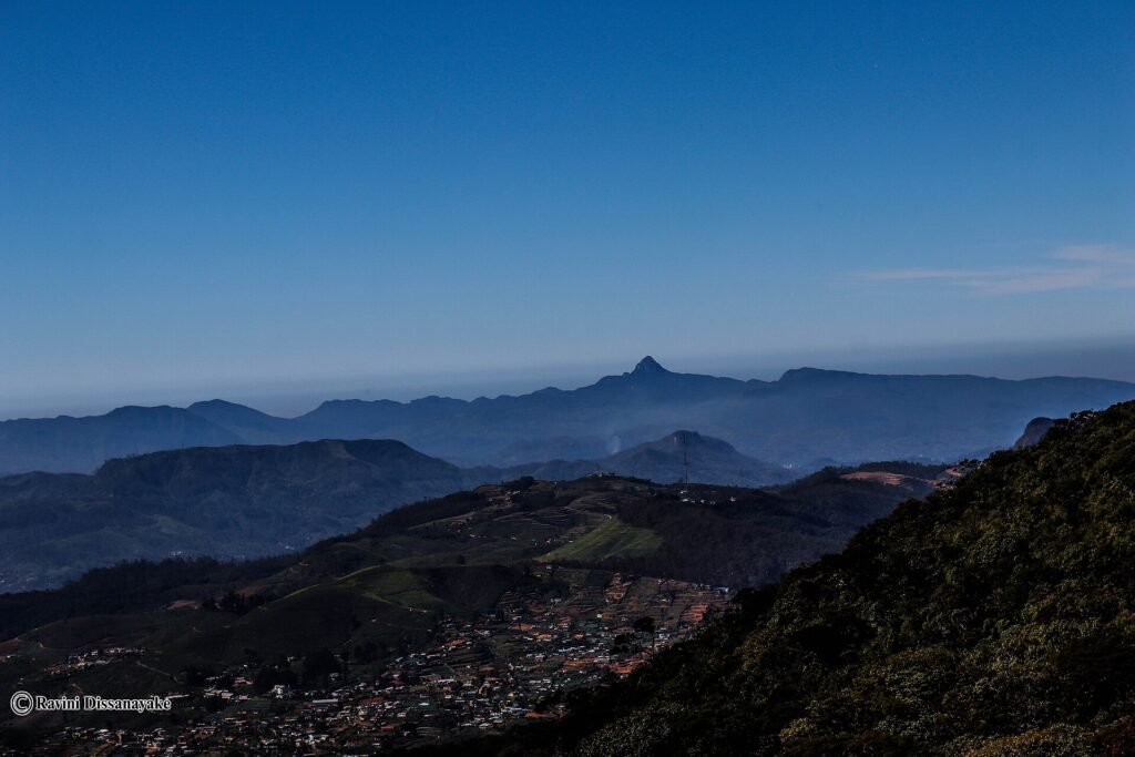
At 2,524 m, Pidurutalagala is the highest mountain in Sri Lanka, and it rises straight out of Nuwara Eliya town. It is also the one summit on this list you cannot hike. The top carries the national armed forces communications and radar installation and is a military high-security zone.
Why you cannot hike it
There is no public walking route to the summit. Visitors have reported being allowed to drive the military access road with prior approval from the Ministry of Defence, showing a passport at the army checkpoint at the base and staying in the vehicle on the way up. We could not find an official page that confirms this procedure, so treat the summit as closed unless you hold written permission. The forested lower slopes are the Pidurutalagala Forest Reserve.
Do not attempt an unauthorised ascent. This is a military zone.
Zugang & Genehmigungen
Military high-security zone. Do not attempt to walk up. Any visit to the summit needs prior approval from the Ministry of Defence; the procedure is reported only by visitors, not published officially.
On the map
Pin 1 is Pidurutalagala. The others are the nearest places in our trail directory.
- Pidurutalagala: Military zone: not open to hikers.
- Lover's Leap Falls: Through Pedro Estate, Nuwara Eliya. About 3 km away.
- Kikiliyamana: Summit, 2,240 m, above Nuwara Eliya. About 4 km away.
- Great Western Mountain: Summit, 2,216 m, above Great Western station. About 10 km away.
Wichtige Sehenswürdigkeiten und Besonderheiten
- Summit installation - Government and armed forces communications and radar array.
- Pidurutalagala Forest Reserve - Montane cloud forest on the slopes above the town.
- Army checkpoint - At the foot of the access road, per visitor reports.
- Nuwara Eliya - The town sits at the mountain's foot.
Die beste Reisezeit
Not applicable to hikers. For a high summit you can actually walk, see Kirigalpotta or Thotupola Kanda in Horton Plains.
In der Nähe im Verzeichnis
Want a high summit you can walk?
We will plan a route to a peak that is open to hikers. A real guide responds to every enquiry.
Ask a GuideGeführte Wanderungen entdecken